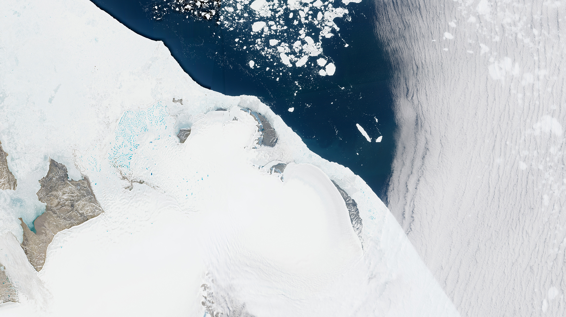
Satellite measurements have revealed a previously undocumented lake beneath the Flade Isblink Ice Cap in northeastern Greenland. The lake, identified as Lake B, collects meltwater below the ice and releases it months later, changing when freshwater reaches the surrounding environment. The discovery was described in an Oct. 15, 2026, report from the European Space Agency’s Earth observation research program. Researchers combined NASA’s ICESat-2 laser altimetry measurements, Copernicus Sentinel-1 radar interferometry, elevation models and climate modeling to track subtle changes in the ice surface from 2018 through 2024. The ice above the lake rose during summer as water accumulated below, then subsided as the lake drained in early autumn. In most observed years, the underground reservoir stored a substantial share of the catchment’s annual runoff. [caption id="attachment_99754" align="alignnone" width="300"] Location and topography of Lake B with context map. (Credit: https://doi.org/10.1038/s41598-026-60541-7)[/caption]The study found that drainage typically delayed downstream freshwater discharge by two to three months after peak surface melting. The results suggest that meltwater does not always travel directly from the ice surface to surrounding lakes and fjords. Accounting for temporary storage beneath ice caps could improve estimates of how Arctic freshwater systems respond to warming. Image Credit: Contains modified Copernicus modified Copernicus Sentinel data (2026), processed by ESA
Top Stories
Satellites Reveal Hidden Lake Beneath Greenland Ice Cap