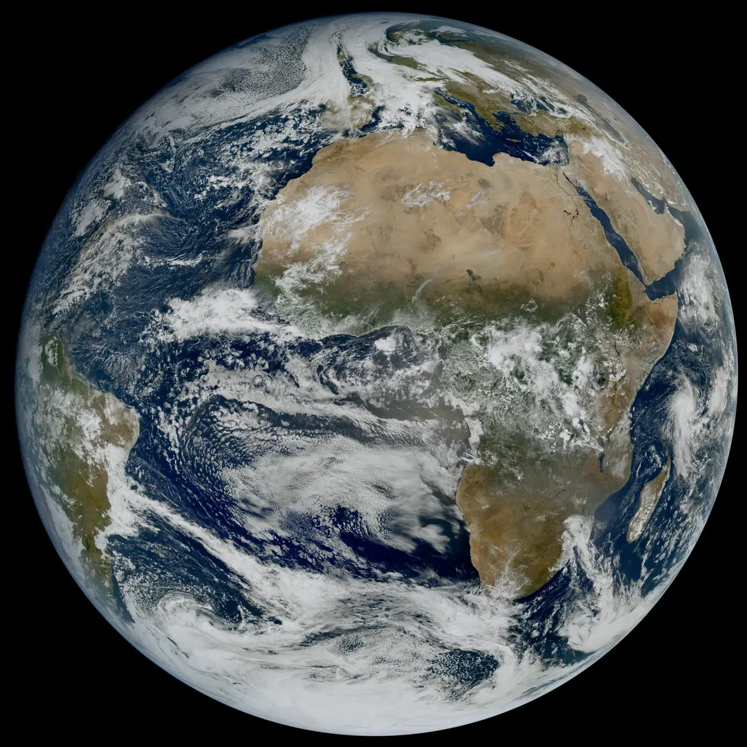
The first Earth image from the Meteosat Third Generation mission’s second Imager satellite, MTG-I2, shows extensive clouds over northern Europe and the North Atlantic while much of the Sahara remains clear. The image was captured Oct. 20, 2026, by the spacecraft’s Flexible Combined Imager and released Nov. 6. MTG-I2 is designed to provide rapid scans of Europe and North Africa every 2.5 minutes. That short interval allows forecasters to follow rapidly developing cloud systems and other atmospheric changes in far greater temporal detail than slower imaging cycles, improving the information available for severe-weather monitoring. The new image offers an early view of the mission’s capabilities as the second MTG Imager expands Europe’s next-generation geostationary weather-observation system. By repeatedly observing the same region from orbit, the satellite can help meteorologists track how storms and cloud formations evolve rather than relying on widely spaced snapshots. Image Credit: Eumetsat
Top Stories
New Meteosat Satellite Shows Europe’s Weather in Rapid Detail