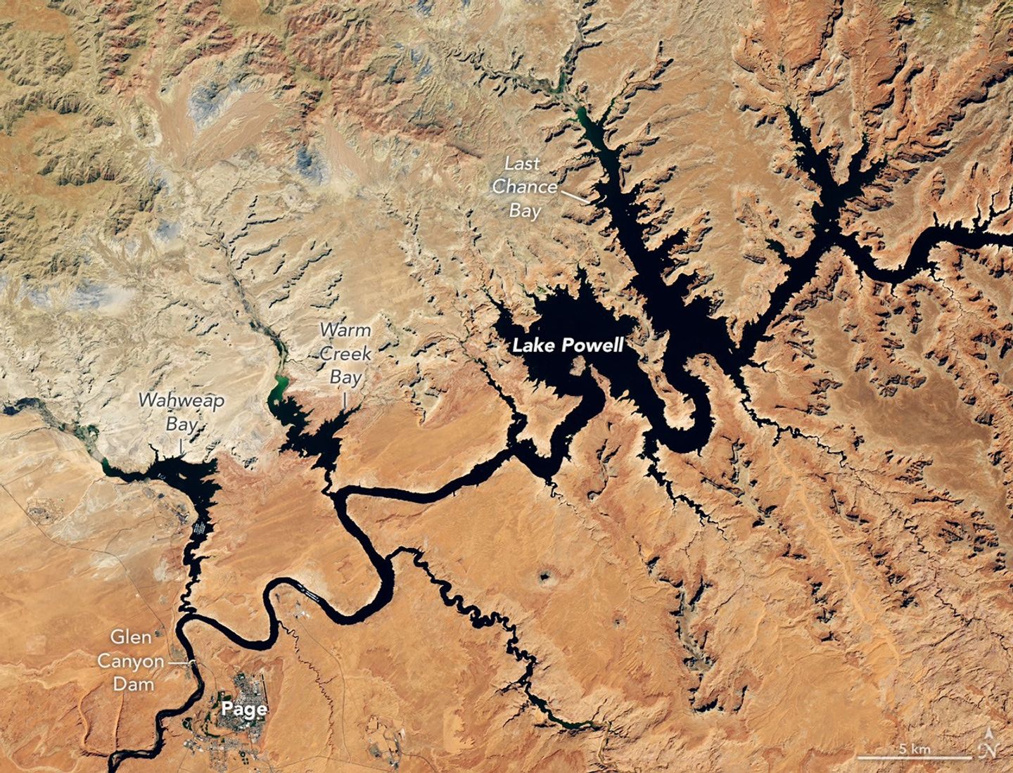
A meager mountain snowpack and unusually warm temperatures across the Upper Colorado Basin helped push Lake Powell to record-low levels in late summer 2026. Landsat 8 imagery shows the dramatic change near Glen Canyon Dam between Sept. 1, 2017, when the reservoir was near one of its highest levels of the past decade (top image), and Sept. 10, 2026 (bottom image). On the latter date, the water surface stood at 3,517.24 feet, several feet below the previous record low set in April 2023. Much of the Colorado River’s flow originates as snowmelt at higher elevations, but the Upper Colorado Basin experienced a snow drought during winter 2025-2026. Record warmth further depleted the snowpack, limiting the spring runoff that normally replenishes Lake Powell. The reservoir first fell to a record low on Aug. 15 and continued declining into September. The U.S. Bureau of Reclamation took several steps during 2026 to stabilize Lake Powell, including releasing water from Flaming Gorge Reservoir and reducing releases from Lake Powell into Lake Mead. Despite the decline, Lake Powell remained above the 3,490-foot minimum power pool elevation, below which Glen Canyon Dam’s hydroelectric turbines cannot generate power effectively. Image Credit: NASA Earth Observatory/Lauren Dauphin