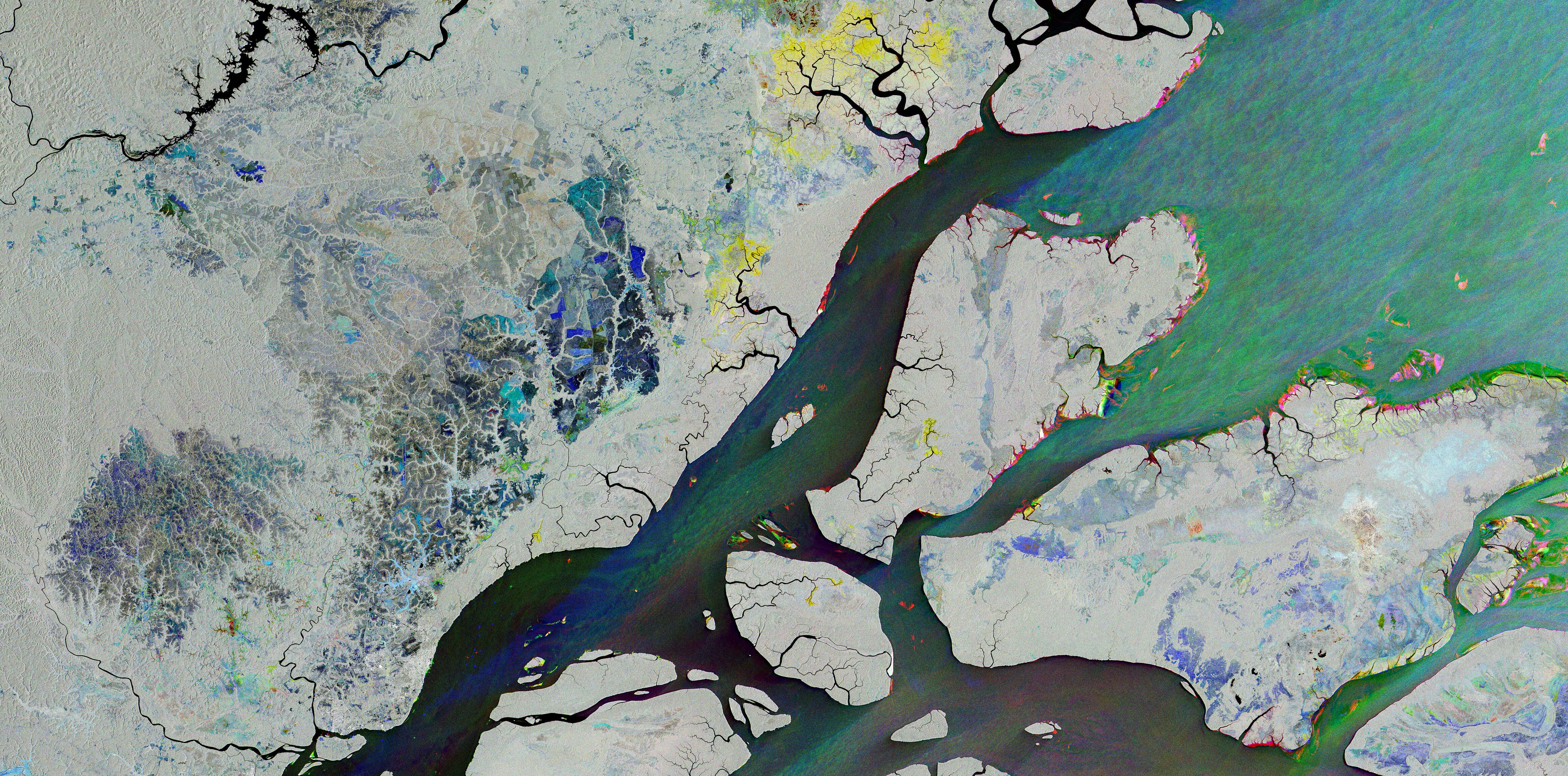
A multicolored radar view of the Amazon River delta reveals a changing landscape of waterways, islands, forests and agricultural fields around Macapá, Brazil. The city sits near the equator on the north bank of the Amazon, where a vast network of channels connects the rainforest to the Atlantic coast. The European Space Agency (ESA) created the composite from three Copernicus Sentinel-1 radar acquisitions made Aug. 15, Sept. 20 and Oct. 26, 2026. Blue, green and red indicate changes detected on those respective dates, while grey, white and black mark areas that changed little or not at all. Differences can reflect vegetation growth, crop cycles, water conditions or shifts along riverbanks; the colors do not by themselves identify a single cause. Macapá appears in grey near the lower left of the image, contrasting with colored patches inland and along the riverbanks. Red traces near the shore and islands indicate changes detected in October, while tiny colored blocks in the river reveal boats captured during different passes. The image demonstrates how repeat radar observations can distinguish changing features across a complex tropical landscape. Image Credit: Contains modified Copernicus Sentinel data (2026), processed by ESA
Sustainable Systems
Radar Reveals Changes Across the Amazon Delta