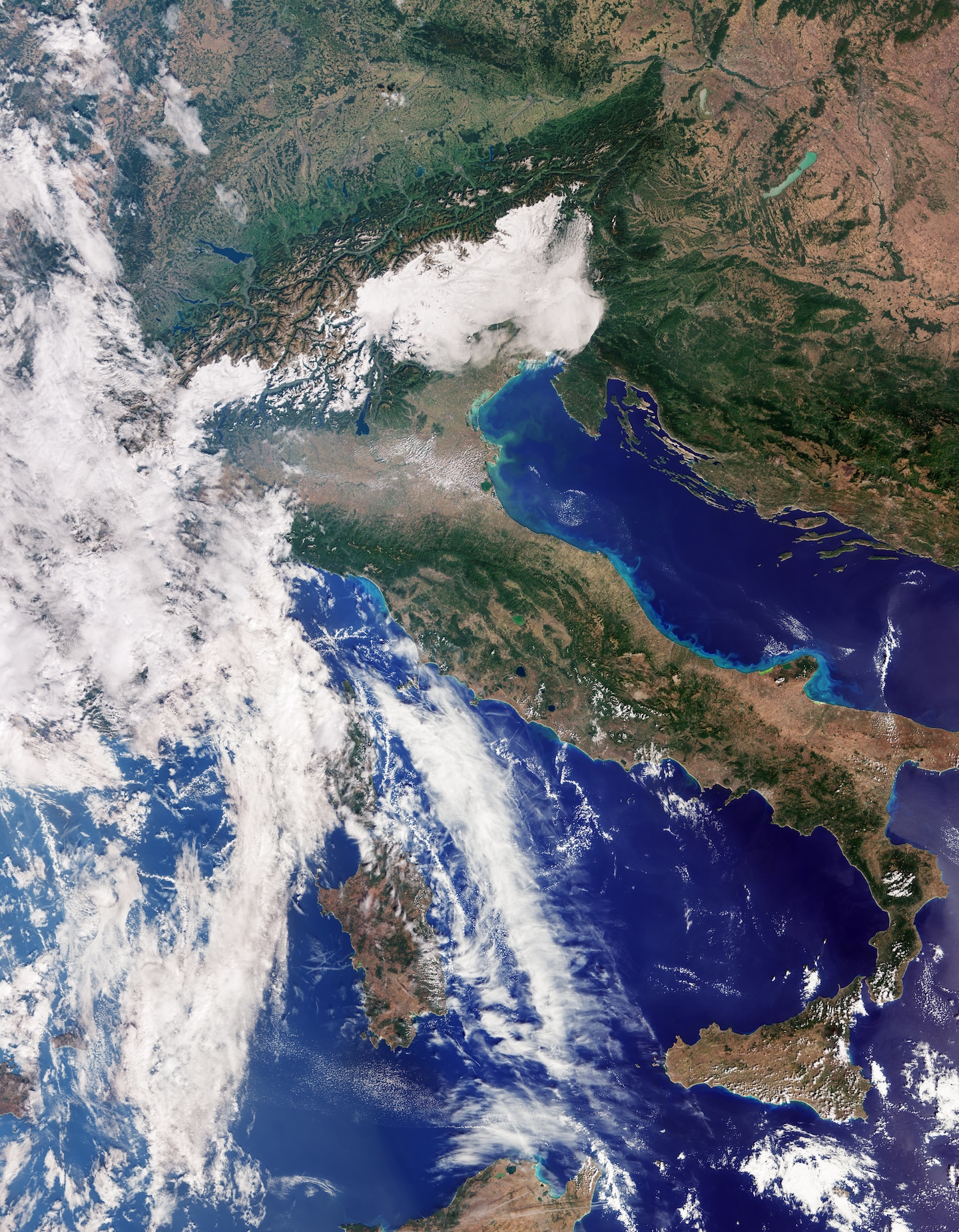
The first images from the recently launched Copernicus Sentinel-3C satellite include a natural-color view of Italy stretching from southern Germany and the Alps to Sicily and the southern Mediterranean. Acquired Sept. 30, 2026, by the satellite’s ocean and land color instrument, the image reveals sharp contrasts between mountains, farmland and surrounding seas.
The snow-covered Alps stand out above the Po Valley, one of Italy’s principal agricultural regions. Farther south, changing shades of green and brown reflect differences in vegetation and land cover. Along the Adriatic coast, lighter blue water likely reflects sediment carried into the sea by rivers and moved along the shoreline.
Image Credit: Contains modified Copernicus Sentinel data (2026), processed by ESA
Featured
Italy and Beyond Imaged by Sentinel-3C