Scientists Exploring Palau National Marine Sanctuary
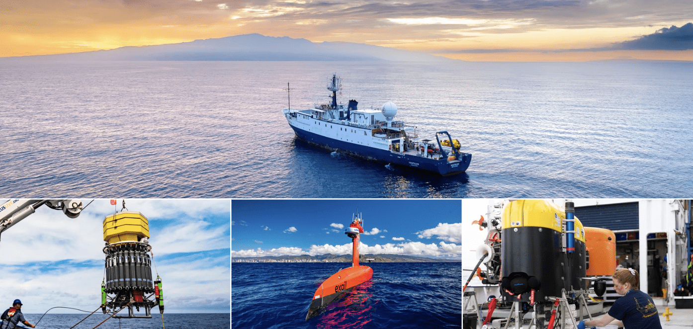
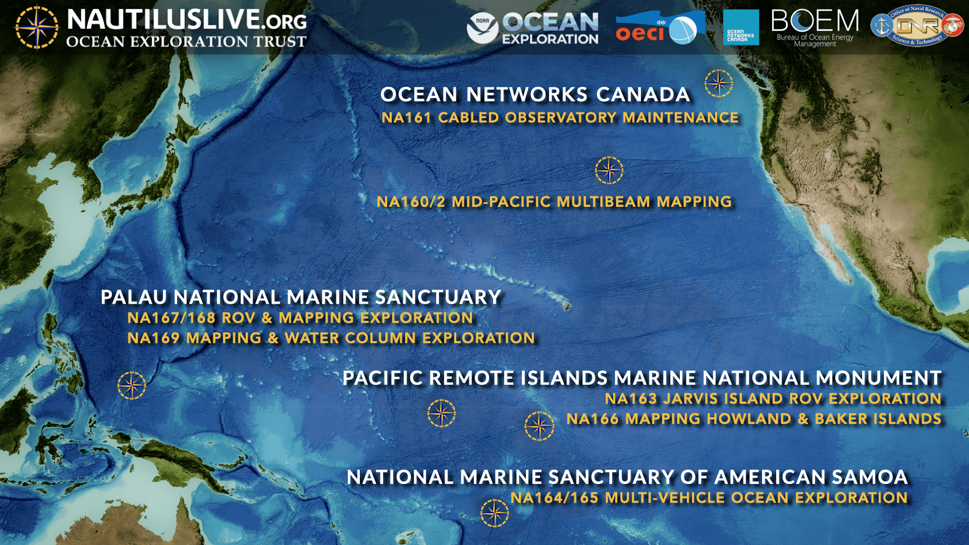
On Oct. 28, 2024, an ocean exploration expedition named Lebuu’s Voyage set sail aboard Ocean Exploration Trust’s (OET) Exploration Vessel (E/V) Nautilus to expl...
Geospatial1 brings Earth Imaging Journal, Sensors & Systems and Asian Surveying & Mapping together as one media resource. V1 Media is the parent of Geospatial1 and Informed Infrastructure.
On Oct. 28, 2024, an ocean exploration expedition named Lebuu’s Voyage set sail aboard Ocean Exploration Trust’s (OET) Exploration Vessel (E/V) Nautilus to expl...
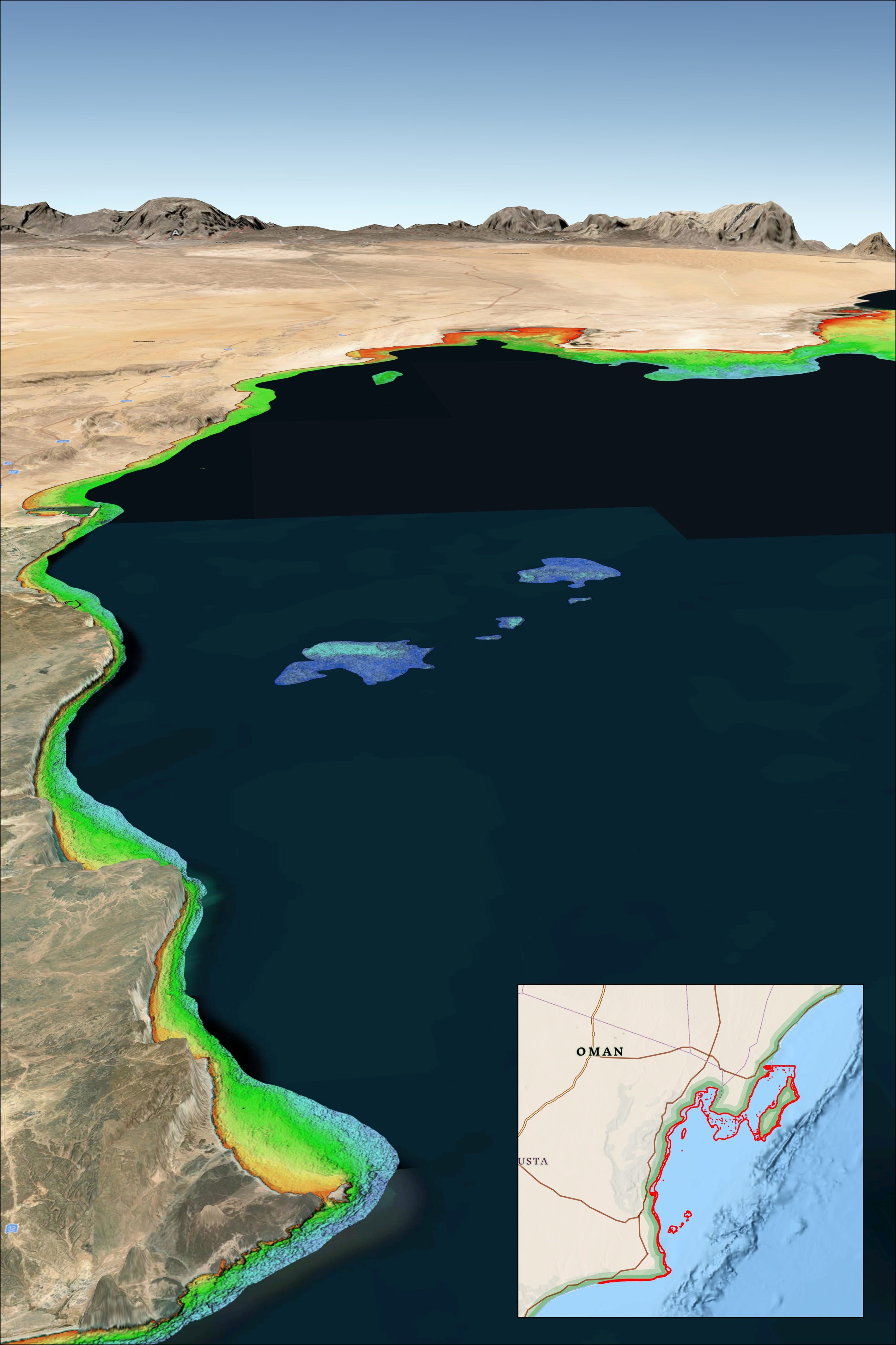
Multiple recent incidents in which naval and commercial vessels ran aground have highlighted the dangers of maritime operations in shallow or poorly charted coa...
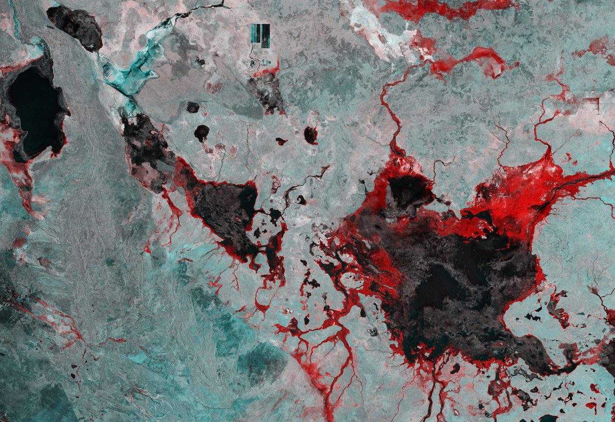
This image captured by the Copernicus Sentinel-1 mission reveals the impact of severe flooding following heavy rain that hit Australia’s Northern Territory in M...
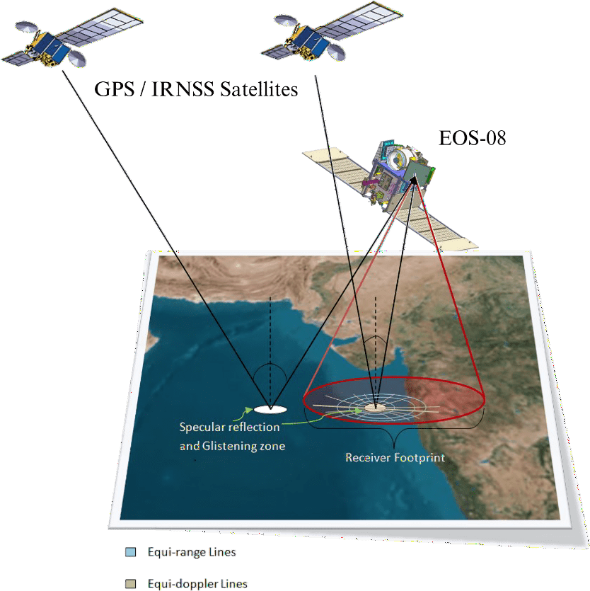
The GNSS-Reflectometry (GNSS-R) instrument on the EOS-08 satellite commenced operations on Aug. 18, 2024. The raw data is being processed at the National Remote...
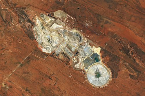
In the arid outback of Western Australia, miners have excavated rust-colored soil to reach the precious minerals below. The open pits and ponds of Telfer mine c...
The Ocean Exploration Trust (OET) Exploration Vessel (E/V) Nautilus set sail in August on its fifth expedition of 2024: E Mamana Ou Gataifale I (NA164). This ex...
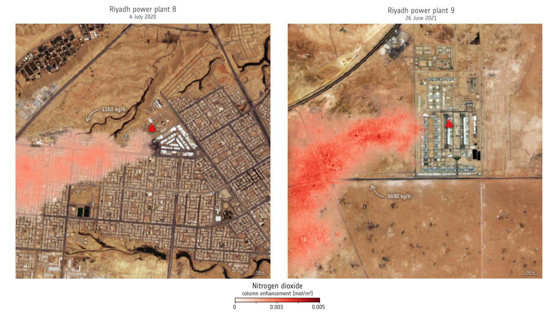
These images show the nitrogen dioxide plume column enhancements from two power plants in Saudi Arabia. Riyadh power plant 8 uses data based on the 60-meter Sen...
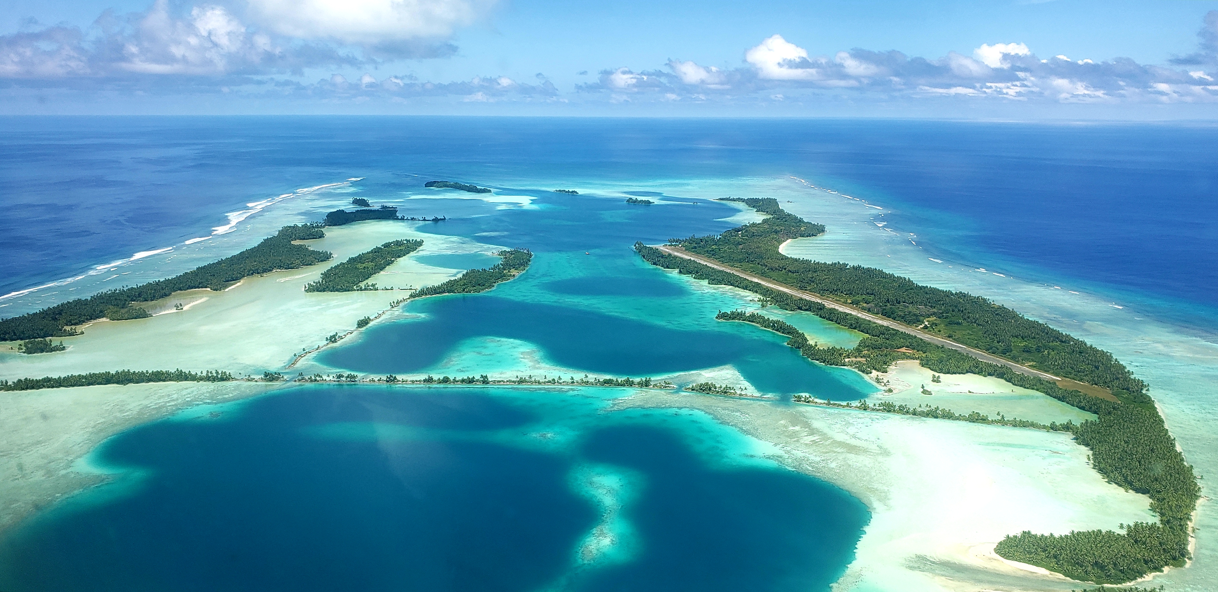
An aerial view of Palmyra Atoll, where animal tracking data now being studied by NASA’s Internet of Animals project was collected using wildlife tags by partner...
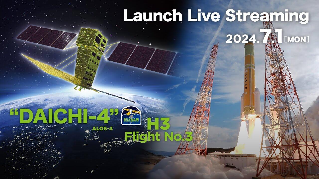
On July 3, 2024, the Japan Aerospace Exploration Agency (JAXA) advanced the Commercial Removal of Debris Demonstration (CRD2) Phase I project, under which the d...
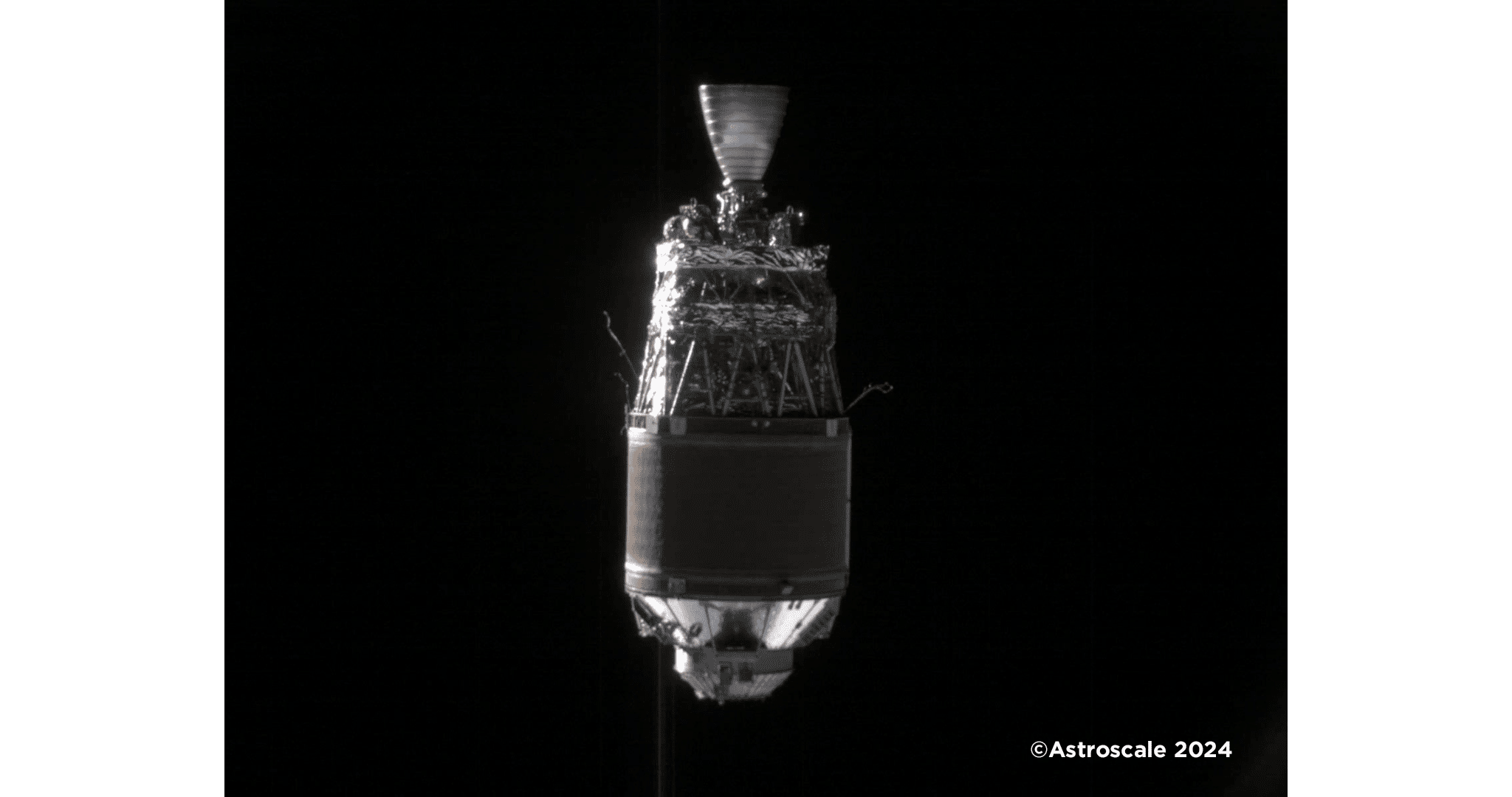
One of the images of the target space debris taken during the "fixed-point observation" (H-IIA upper stage, which launched Greenhouse Gases Observing Satellite...